Ground radar before excavation at a DWP office in Ashington
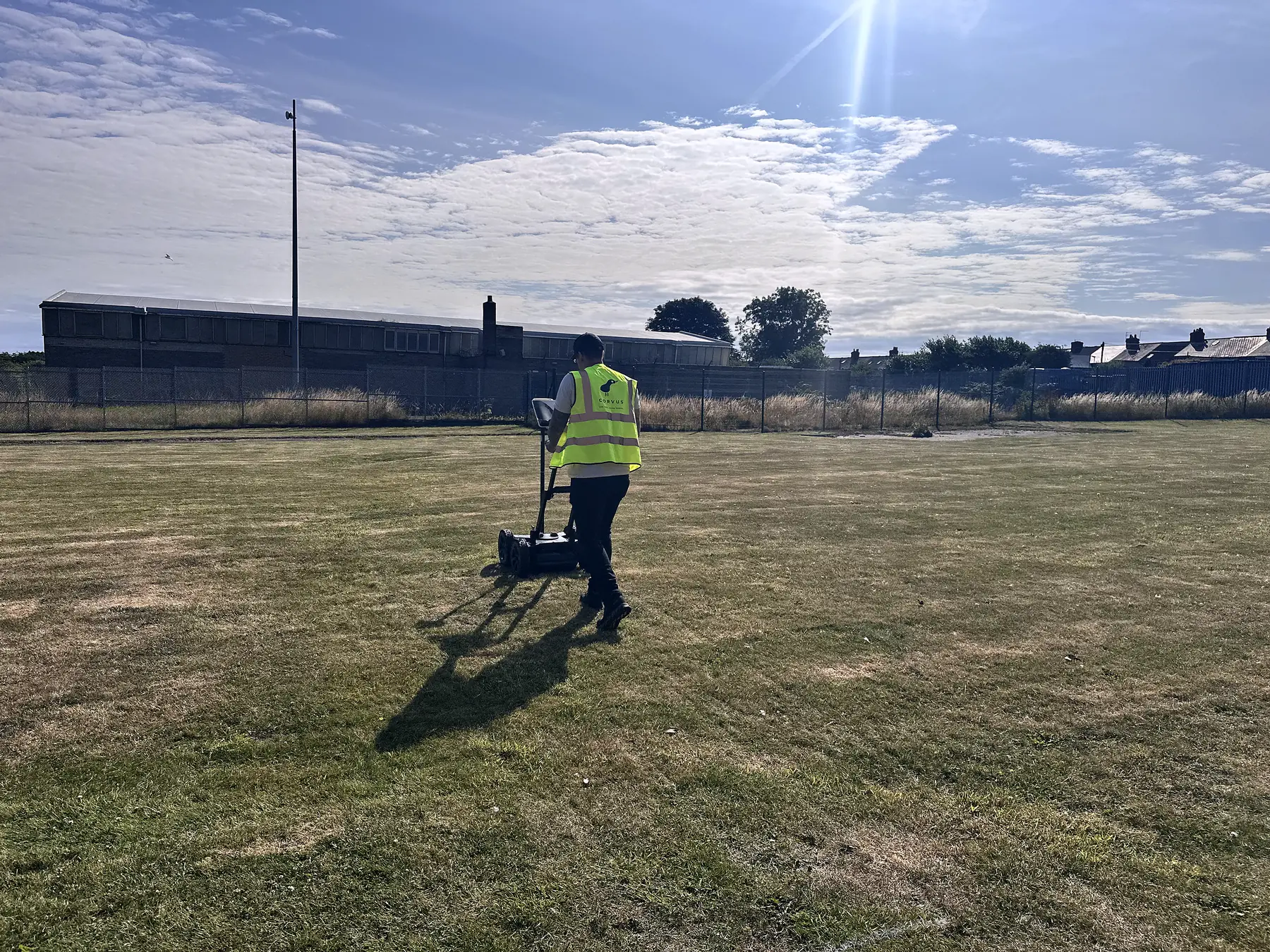
BTL Contracts needed to know what was in the ground before excavating outside Reiverdale House, the DWP office in Ashington. Corvus ran a ground GPR survey over the works area, fixed every pass by GNSS, and issued a report and drawing before the dig.
The brief
BTL Contracts were due to excavate outside Reiverdale House, the DWP office in Ashington. Before any ground was opened they wanted to know what radar could see beneath the works area, and a drawing the dig team could work to.
What we did
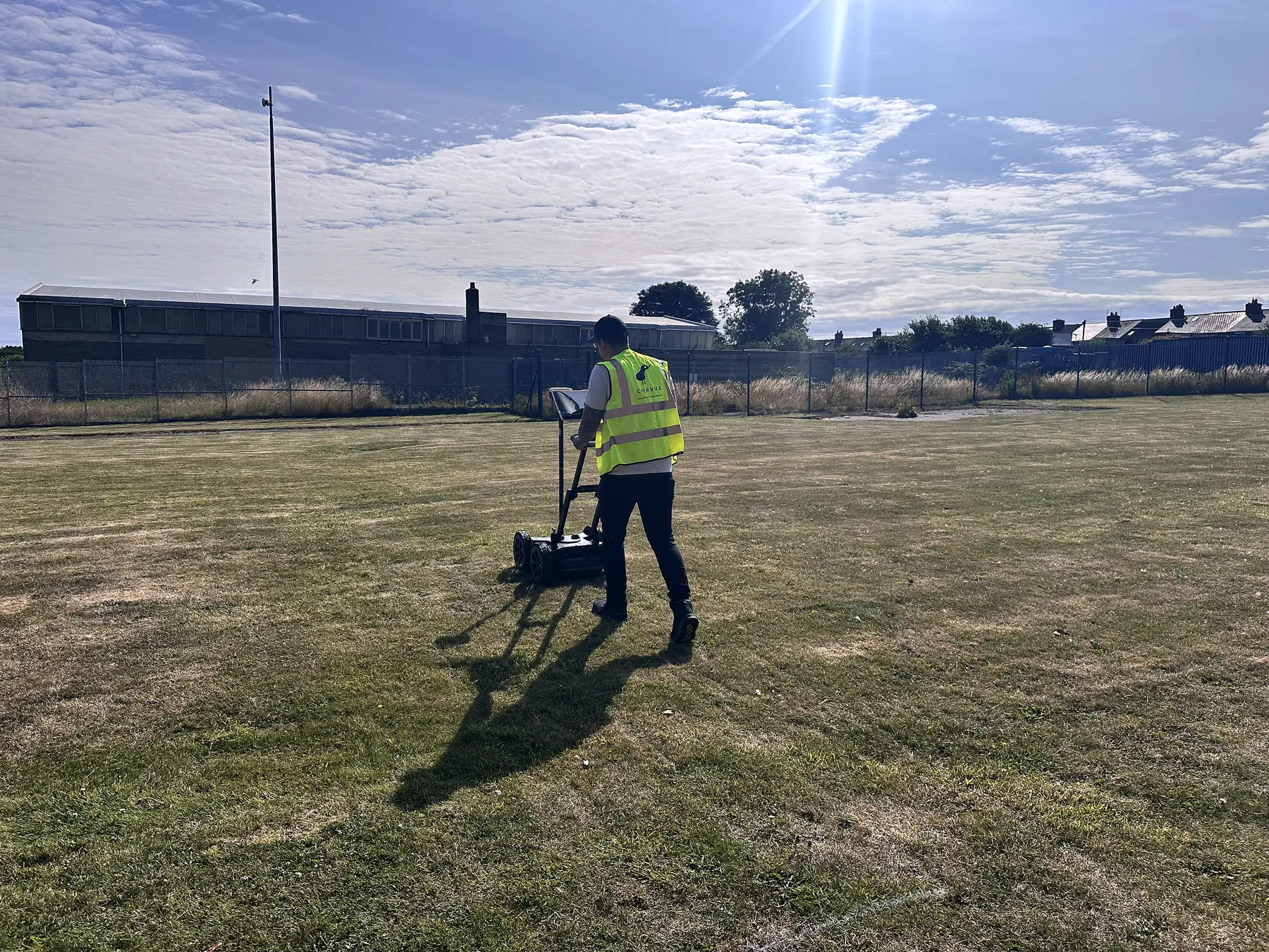
On 20 July 2026 we surveyed the works area with a Proceq GS8000 ground GPR. The area was set out with BTL on site, then covered with passes in both directions at close spacing. Every pass was positioned by GNSS, so anything the radar picked up could be plotted on a drawing rather than paced out from the building.
What BTL received
A report and a separate drawing, issued together. Each feature the radar picked up is reported as an anomaly with its approximate depth, its extent, whether it falls within the planned dig depth, and a recommended action: record for information, hand excavate within the area, or prove the ground carefully before going on. A summary table puts all of that on one page.
The wording is deliberate. Radar shows reflections, not labelled pipes, so a linear anomaly is called a linear anomaly and a possible service is only ever a possible service. The report also says what the survey does not do. It does not confirm the absence of services, and it is not a permit to excavate. Utility records, HSG47 practice and careful hand digging still apply.
Why it matters
The way this job was written up is the template we use for every ground survey: structured findings, a drawing the contractor can set out from, and language a client can rely on without being told more than the data supports. BTL booked us again for a DWP site at Pembroke Dock in September.
We now deliver full PAS 128:2022 utility surveys, with electromagnetic location alongside GPR and positions fixed by GNSS RTK. Planning an excavation where the records are thin? Get a quote.