PAS 128 Utility Surveys
Know what's in the ground before the bucket goes in.
The drawing you can dig to.
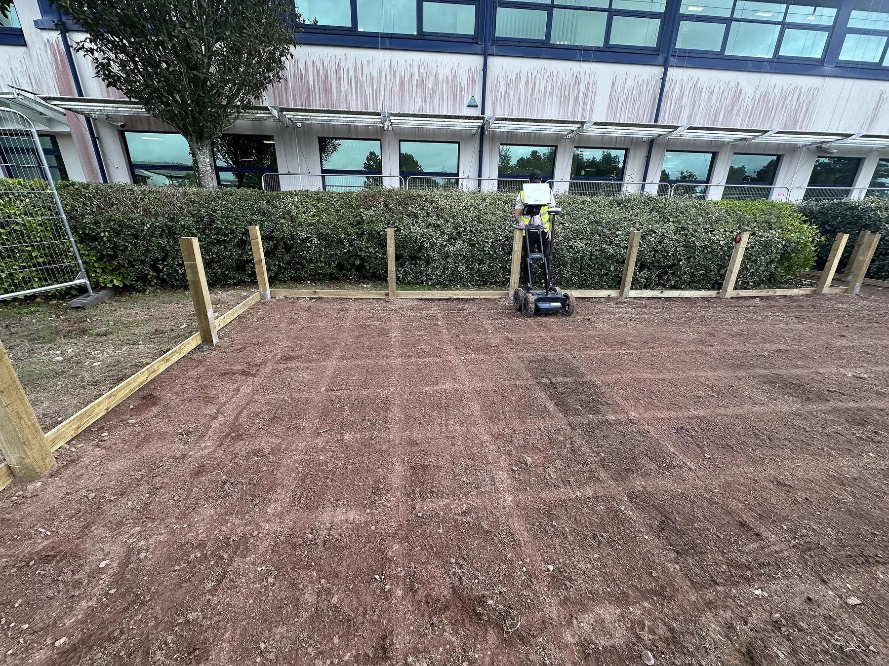
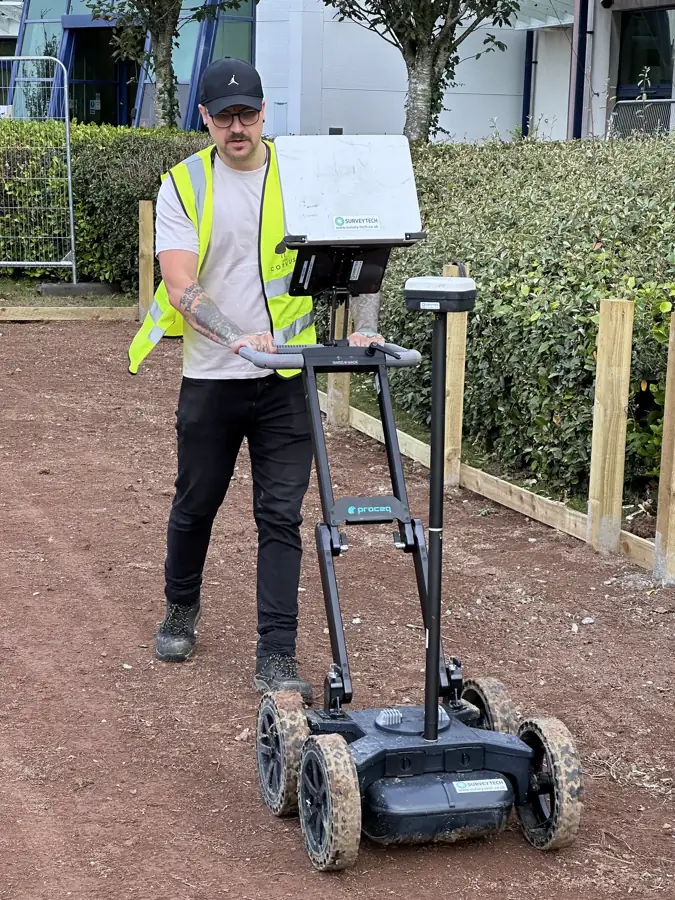
A PAS 128 underground utility survey finds, identifies and records the buried services on a site before anyone excavates, piles or trenches. It is the groundwork for safe digging: the cable avoidance sweep, the records search and the radar pass brought together on one drawing, so the permit to dig rests on evidence. PAS 128:2022 is the British specification that says how it must be done and how confident the result is. We deliver it in-house with a Radiodetection RD8200 locator and a Proceq GS8000 ground-coupled radar with GNSS RTK positioning. Our utility surveyors hold the ProQual Level 3 Certificate in Utility Mapping and Surveying and deliver surveys to PAS 128:2022. You choose the survey type the job needs; the drawing tells you the quality level you got.
Every survey starts with a records search (Type D). On site, the surveyor sweeps the whole area with the cable avoidance tool (CAT) in passive mode, applies a signal from the Genny to every service that can be connected to, then runs GPR over the same ground to pick up the plastic, the clay and anything the locator cannot energise. Positions are marked in paint on the ground and recorded with a GNSS RTK fix. The office processes the GPR data and issues a drawing with every utility labelled by type and quality level. A CAT and Genny sweep is a few hours; a Type B is one to three days on site plus office processing. Book a Type B at least a week ahead so the statutory records are in before we arrive.
Where it helps
- Before excavation, piling, trenching or ground anchors
- Before a basement dig or a pavement opening in a London street
- Where the statutory records are old, incomplete or contradict each other
- On a site with a history of services being added and abandoned
- When the client or principal designer has specified PAS 128
- When the permit to dig has to be signed off against a utility drawing
- Before EV charger, district heating or substation works
What you receive
- Marked-up ground in survey paint, colour-coded by service
- Utility drawing in DWG/DXF and PDF, each line labelled with type and PAS 128 quality level
- Report stating survey type, methodology, kit, operator qualification and limitations
- Records pack from the Type D search
- Within 5 working days of the site visit
A note on interpretation. A PAS 128 survey records what was detected to the stated quality level. It does not guarantee that every service has been found, and it is not a permit to dig. Safe excavation practice, trial holes where the drawing says QL-B3 or B4, and HSG47 still apply.
Often surveyed together.
GPR Concrete Scanning
Ground penetrating radar scanning that finds rebar, post-tension cables, conduits and voids hidden inside concrete, before they become a problem.
Learn moreFerro Scanning
Electromagnetic scanning to map reinforcement, measure cover depth, and estimate bar diameter without touching the concrete.
Learn moreNeed a CAT and Genny sweep or a full PAS 128 survey? You speak to the same team. A standalone sweep gives you the detected routes marked on the ground and a short photo record on the day. Our Type B survey combines a records search, electromagnetic detection and GPR, with GNSS RTK positioning and M3P as our default methodology. The records pack, report and PDF and DXF/DWG utility drawing follow within 5 working days of the site visit. Send the site and the planned works. We call back the same working day and advise which route fits the job.
Where PAS 128 utility surveys are the right tool.
PAS 128 Explained
The British specification for finding and recording buried utilities, in plain English.
Learn moreType B Detection Survey
A PAS 128 Type B survey: two detection methods over the whole area, every service positioned and labelled with its quality level.
Learn moreCAT and Genny Survey
A quick electromagnetic sweep for energised cables and metallic pipes, honestly described.
Learn moreGPR Utility Survey
Why GPR is the second detection method, what it finds that a locator cannot, and where it struggles.
Learn moreDesktop Utility Search
The Type D records search, and why it is the first step of every Type B.
Learn moreBuilt for the sectors that need it most.
PAS 128 Utility Surveys across the UK.
Common questions.
What is the difference between a CAT and Genny scan and a PAS 128 survey?
A CAT and Genny scan is a quick electromagnetic sweep for energised cables and metallic pipes. A PAS 128 survey adds a records search, a second detection method (GPR), positioning and a drawing that states how confident each line is. A CAT and Genny scan is not a PAS 128 survey.
Do you do cable avoidance surveys on their own?
Yes. A CAT and Genny sweep, marked on the ground, is the quickest way to make a small dig safer. We will tell you when the site needs the full PAS 128 survey instead, usually where there are plastic services, old records or a piling rig on the way.
What makes a site safe to dig?
Records, a cable avoidance sweep, a GPR pass for what the locator cannot see, a drawing with a quality level on every line, and hand digging to HSG47 where the drawing says the position is uncertain. A safe site starts with the utility survey done before the programme is fixed, not after the excavator has arrived.
Which survey type do I need?
Most jobs need a records search (Type D) plus detection (Type B). Type C checks the records against visible features on site. Type A exposes and measures a service in a trial hole, and needs a Type B first. Tell us the excavation and we will advise.
What does QL-B1, B2, B3 or B4 mean on the drawing?
They are the quality levels for detected services. QL-B1 is position and depth with both methods agreeing, to ±150 mm and ±15% of depth. QL-B2 is ±250 mm and ±40% of depth. QL-B3 is detected by one method with depth not reliable. QL-B4 is expected but not detected.
Can you find plastic pipes?
Often, with GPR, which is why it is the second method. Plastic cannot be energised for the locator. GPR can pick it up but struggles in wet clay and made ground, and the drawing states what was and was not detected.
How long does a Type B survey take?
A single street frontage or small site is usually one day on site. A development plot is two to three days. Office processing is included in the 5 working days after the site visit.
Do you do the records search as well?
Yes. The Type D records search is the first step of every survey we do, and the records pack is included in the deliverables.
How much does a PAS 128 survey cost?
It depends on the area, the survey type and the access. Tell us the site and we call back the same working day with a price.
Can you work in a live London street?
Yes. We plan around traffic management, permits and night working where the street needs it, and we are based in Canary Wharf.
Do you submit survey data to NUAR?
Only when you ask us to. PAS 128:2022 encourages sharing data with the National Underground Asset Register, and we will submit your survey data if the client requests it.
Guides on PAS 128 utility surveys.
Cable avoidance survey: what a CAT and Genny sweep finds, and what it misses
A cable avoidance survey is the quickest way to make a small dig safer. What the CAT and Genny actually detect, where they go quiet, and when the job needs a full PAS 128 survey instead.
Read article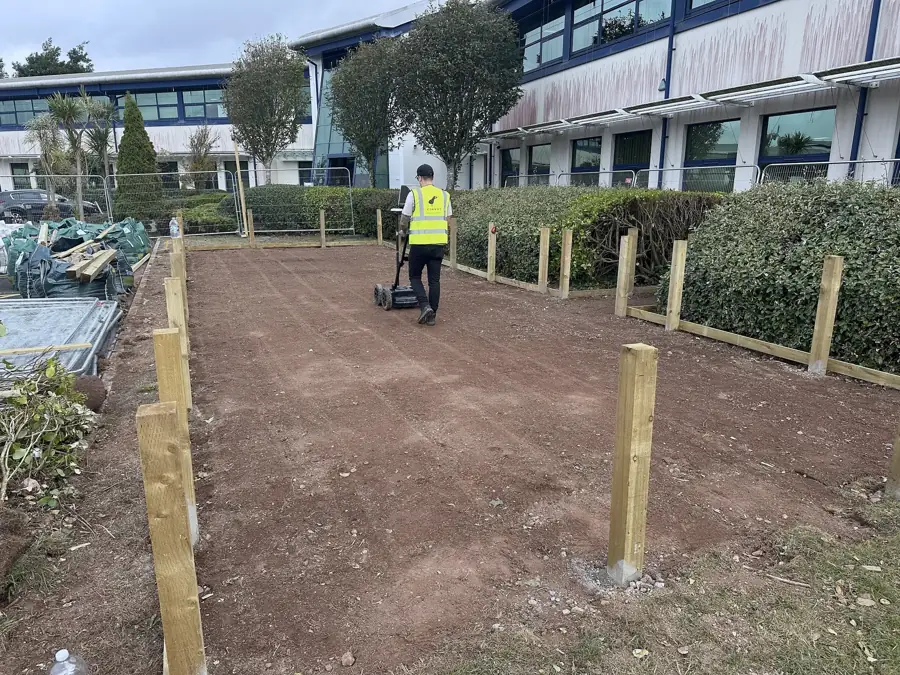
HSG47 explained: what a utility survey has to show before you dig
HSG47 is the HSE guidance on avoiding danger from underground services. What it expects at the planning, locating and digging stages, and where a utility survey fits into each.
Read article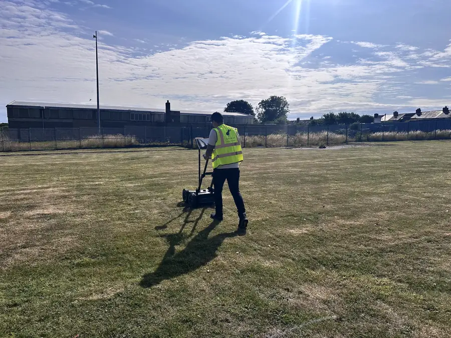
Permit to dig: what it needs, and where the utility drawing fits
A permit to dig is only as good as the information behind it. What a sound permit contains, who signs it, how long it lasts, and why the utility survey drawing is the piece that makes it worth signing.
Read article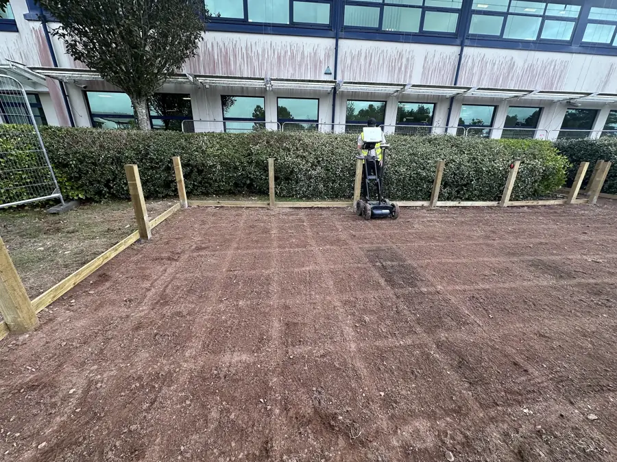
What is utility mapping and why is it important
Utility mapping locates the buried services that an excavation or piling job has to avoid. Here is how it is done, what the deliverable looks like, and why it is non-negotiable.
Read article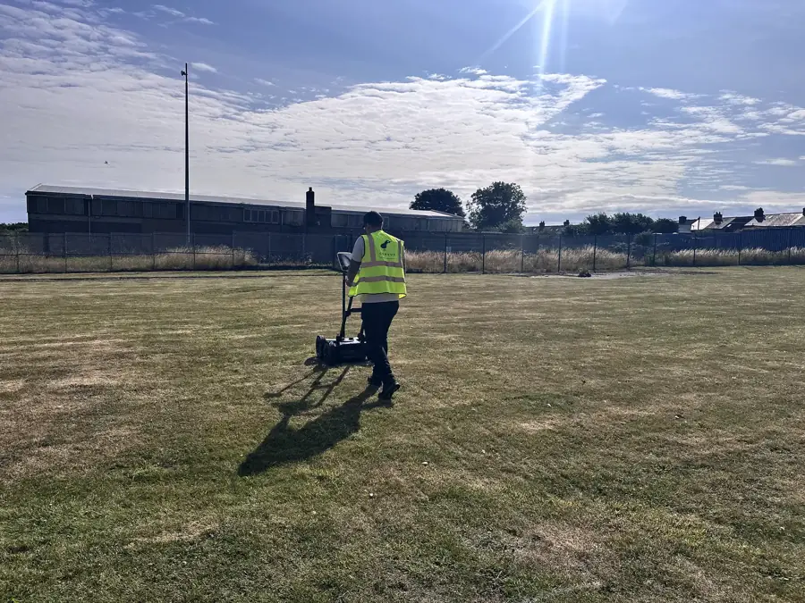
PAS 128 explained, the standard for utility surveys
PAS 128:2022 is the British specification for finding and recording buried utilities. Survey types, quality levels, methodology and how to specify a survey to it.
Read articleReal sites. Real drawings.
Ground radar and a records search at DWP Pembroke Dock
BTL Contracts were back on DWP sites in September, this time at Trident House in Pembroke Dock. Corvus ran a utility records search and a ground GPR survey over the works area, positions fixed by GNSS, and issued the report and drawing ahead of the works.
View case studyGround radar before excavation at a DWP office in Ashington
BTL Contracts needed to know what was in the ground before excavating outside Reiverdale House, the DWP office in Ashington. Corvus ran a ground GPR survey over the works area, fixed every pass by GNSS, and issued a report and drawing before the dig.
View case studyGot a dig coming up?
Send drawings, photos or proposed fixing locations and we'll advise the right survey approach.