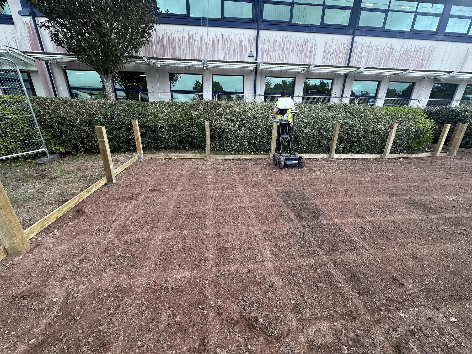
Type B Detection Survey
A PAS 128 Type B survey: two detection methods over the whole area, every service positioned and labelled with its quality level.
The drawing you can dig to.
What it is
Type B is the survey most people mean when they say PAS 128. Two detection methods over the whole area, every service positioned and labelled with how confident we are, delivered as a drawing your designer can overlay and your groundworker can read.
What is included
- Type D records search
- Passive sweep of the whole area with the RD8200, active signal applied to every connectable service
- GPR over the whole area with the GS8000 at M3P or as specified
- Surface marking in colour code
- Positions fixed by GNSS RTK
- Office post-processing
- DWG/DXF and PDF with a quality level on every line
- Report with methodology, kit, operator qualification and limitations
- Within 5 working days of the site visit
What the quality levels on your drawing mean
- QL-B1 and QL-B2: dig with care.
- QL-B3: trial hole before machine excavation.
- QL-B4: assume present until proven otherwise.
Typical scope and time
A single street frontage or a small site is one day on site. A development plot is two to three days. The office work is included in the five days. Book at least a week ahead so the statutory records are in before we arrive.
Who does it
Our utility surveyors hold the ProQual Level 3 Certificate in Utility Mapping and Surveying and deliver surveys to PAS 128:2022.
Limits
A Type B survey records what was detected. It does not guarantee every service has been found. Where the drawing says QL-B3 or B4, a trial hole is the next step, and HSG47 still applies. If you need a service exposed and measured, that is Type A.
Where it helps
- Before works requiring a PAS 128 detection survey
- Where the project needs records, electromagnetic detection and GPR findings combined
What you receive
- Type D records pack
- Ground markings and survey record
- Utility drawing in PDF and DXF/DWG with the quality level on every line
- Report stating coverage, methods, equipment, qualification and limitations
- Written report and drawing within 5 working days of the site visit
A note on interpretation. The survey records the evidence achieved and the areas that could not be resolved. It does not establish that every service has been found or replace excavation controls and verification.
Often surveyed together.
GPR Concrete Scanning
Ground penetrating radar scanning that finds rebar, post-tension cables, conduits and voids hidden inside concrete, before they become a problem.
Learn moreFerro Scanning
Electromagnetic scanning to map reinforcement, measure cover depth, and estimate bar diameter without touching the concrete.
Learn moreMore from PAS 128 Utility Surveys.
- PAS 128 Utility SurveysPAS 128 Explained
The British specification for finding and recording buried utilities, in plain English.
- PAS 128 Utility SurveysCAT and Genny Survey
A quick electromagnetic sweep for energised cables and metallic pipes, honestly described.
- PAS 128 Utility SurveysGPR Utility Survey
Why GPR is the second detection method, what it finds that a locator cannot, and where it struggles.
Got a dig coming up?
Send the boundary, works depth, specification and programme. We call back the same working day.