PAS 128 Explained
The British specification for finding and recording buried utilities, in plain English.
PAS 128:2022, in plain English.
What it is
PAS 128 is the British specification for finding and recording buried utilities. It does not tell you what is in the ground; it tells you how well someone looked and how much you can trust what they drew. If you are specifying a survey or reading one, these are the four things to understand.
Four survey types
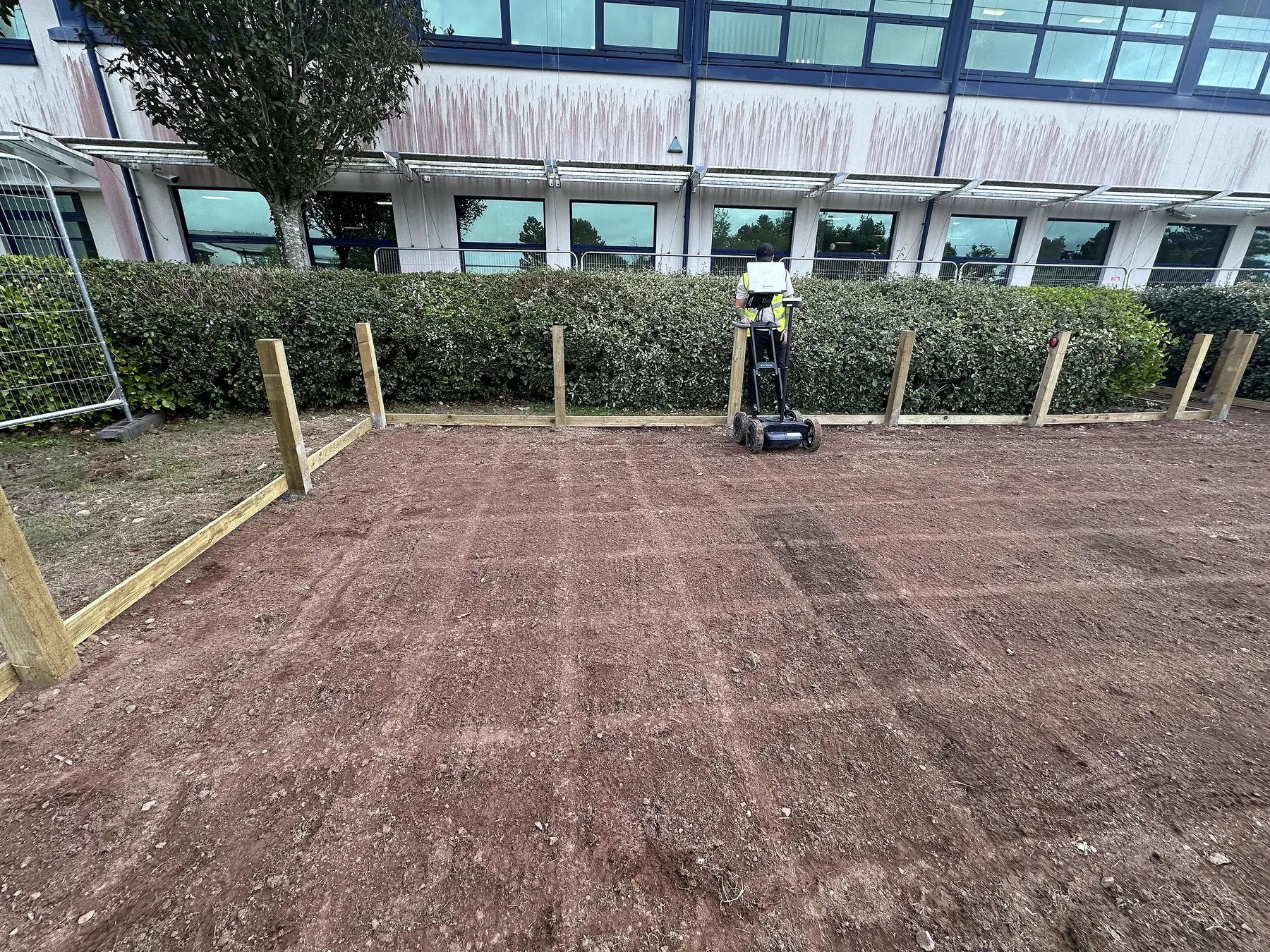
Type D is a desktop search of the statutory undertakers' records; nobody visits the site. Type C checks the records on site against what can be seen: covers, cabinets, reinstatement scars. Type B is detection: the site is swept with an electromagnetic locator and GPR and every service found is positioned. Type A is verification: the service is exposed in a trial hole or by vacuum excavation and measured.
Most jobs need D plus B. A needs B first.
Quality levels
| Level | What it means | Horizontal | Vertical |
|---|---|---|---|
| QL-D | From records only | Not defined | Not defined |
| QL-C | Records matched to visible features | Not defined | Not defined |
| QL-B4 | Expected but not detected; route assumed | Not defined | Not defined |
| QL-B3 | Detected by one method; depth not reliable | ±500 mm | Not defined |
| QL-B2 | Position and depth from one method | ±250 mm | ±40% of depth |
| QL-B1 | Position and depth, both methods agree | ±150 mm | ±15% of depth |
| QL-A | Exposed and measured | ±50 mm | Per PAS 128:2022 |
Methodology M1 to M4 and the P suffix
M sets how dense the survey is, from a sweep along the expected routes (M1) to a full grid at close centres (M4). From M3 upward the GPR data must be post-processed in the office, shown as M3P or M4P and as a P on the quality level (QL-B1P). Same tolerance, more confidence, and a dataset the next engineer can reuse.
What changed in 2022
Two detection methods and a full passive sweep are mandatory for Type B. GPR arrays are recognised. Raw data must be kept. Practitioners are expected to hold a recognised utility-mapping qualification. Data sharing to the National Underground Asset Register is encouraged. The 2014 edition is withdrawn; a specification that still cites it is out of date.
How to write it into a spec
Paste this: "Utility detection survey to PAS 128:2022, Type D and Type B, methodology M3P minimum, deliverable in DWG and PDF with PAS 128 quality levels shown per utility, report to include methodology, equipment and operator qualifications."
Who does it
Our utility surveyors hold the ProQual Level 3 Certificate in Utility Mapping and Surveying and deliver surveys to PAS 128:2022.
Where it helps
- When choosing or specifying a utility survey
- When comparing records-only work, detection and verification
Outputs by survey type
- Type D commission: the records pack
- Standalone locator sweep: marked ground and a short photo record on the day
- Type B commission: marked ground, records pack, report and DXF/DWG within 5 working days of the site visit
A note on interpretation. The survey type defines the commission. The achieved quality level describes the evidence for each feature; it is not permission to excavate.
Often surveyed together.
GPR Concrete Scanning
Ground penetrating radar scanning that finds rebar, post-tension cables, conduits and voids hidden inside concrete, before they become a problem.
Learn moreFerro Scanning
Electromagnetic scanning to map reinforcement, measure cover depth, and estimate bar diameter without touching the concrete.
Learn moreMore from PAS 128 Utility Surveys.
- PAS 128 Utility SurveysType B Detection Survey
A PAS 128 Type B survey: two detection methods over the whole area, every service positioned and labelled with its quality level.
- PAS 128 Utility SurveysCAT and Genny Survey
A quick electromagnetic sweep for energised cables and metallic pipes, honestly described.
- PAS 128 Utility SurveysGPR Utility Survey
Why GPR is the second detection method, what it finds that a locator cannot, and where it struggles.
Got a dig coming up?
Send the site plan and intended works. We call back the same working day and advise which route fits the job.